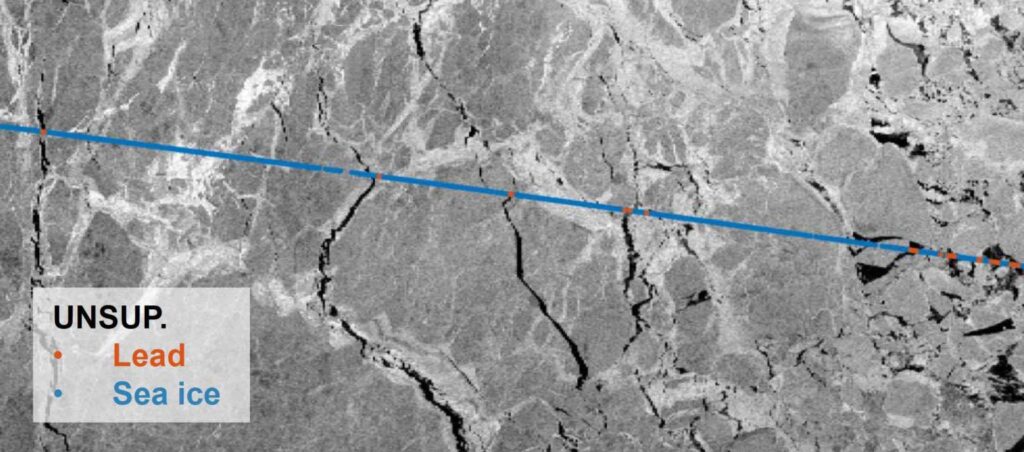
ESA-supported research reinforces the complementary role of commercial satellite data alongside government missions. New research supported by the European Space Agency’s (ESA) Third Party Missions programme has generated Arctic-wide sea ice freeboard maps using GNSS-Reflectometry (GNSS-R) data captured by Spire Global, Inc.’s GNSS-Reflectometry (GNSS-R) multipurpose listening constellation.
Pour en savoir plus : Spire GNSS-Reflectometry Data Enables Arctic-Wide Sea Ice Mapping